Wartime Aerial Photographs
Thursday, 26 November 2009
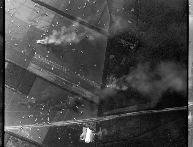
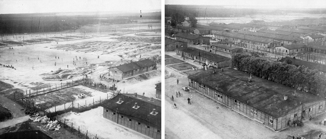
Long before the days of Google Earth, highly skilled airmen who took [these pictures] flew alone, by day and night, in unarmed Spitfires relying on their wits as they risked their lives to capture the images on their plane-mounted cameras. Sometimes their planes were painted pink, as the unusual colour proved very good at hiding the aircraft against a background of low cloud. For high altitude missions, the planes were painted a dark shade of blue.
But often they still found themselves targeted by anti-aircraft missiles. Hundreds of them never returned home. Those that did brought with them photos vital to the war effort.
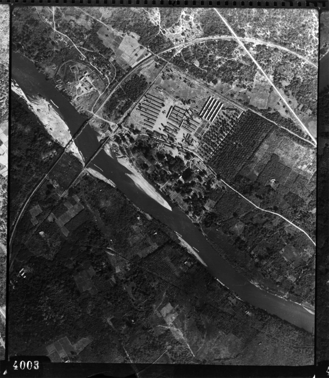
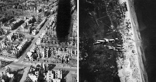
Expert photographic interpreters studied the pictures using optical instruments such as stereoscopes to view them in 3D to build up detailed information for intelligence reports and models used in military planning for operations such as the D-Day landings. The ‘detective’ teams, who were headquartered in a stately home in Buckinghamshire at RAF Medmenham - MI4’s Allied Central Interpretation Unit - included Oxbridge academics, geographers and archaeologists.
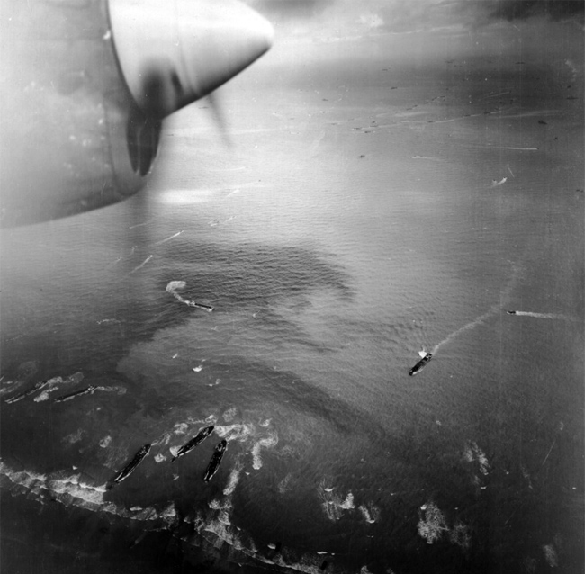
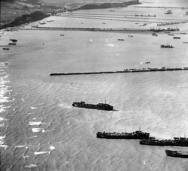
Around 4,000 images from the archive [are available for viewing online] at aerial.rcahms.gov.uk, with more to be added.
Images and text sourced from Daily Mail.

